-
Solo Business Courses
-
 Others
-
Overseas Tutorials
-
Photography & Editing
-
Community & Private Domain
-
Self-Media Writing & Copywriting
-
Side Income Projects
-
E-commerce
-
Short Video & Live Streaming
-
Artificial Intelligence (AI)
-
Software & Tools
-
Operating Systems
-
Plugins & Scripts
-
MacOS Software
-
Android Software
-
Windows Software
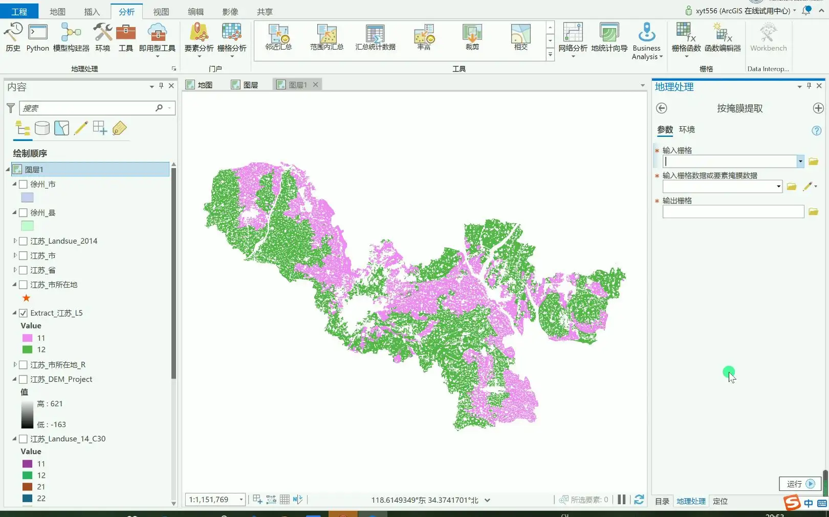
GIS Mapping & Data Visualization ArcGIS Desktop v10.8.2
-
Game Gold-Farming Money-Making Plan: Earn 1k+ Daily, a Stable 3-Year Project Anyone Can Do in Spare Time [Revealed]
Study material — included with membership Get Membership -
Hot-game fully-automated earning: 500+ a day, no experience, simple operation - the steadiest long-term game-earning side hustle (revealed)
Study material — included with membership Get Membership -
FlyingMouse earns merit this time! Don't panic at Windows format problems — the open-source FlyingMouse format conversion tool helps, a popular GitHub gem
Study material — included with membership Get Membership -
Douyin Product-Selling Coaching Bootcamp: No On-Camera Appearance Needed, Newbies Can Produce Selling Short Videos by Following the Steps
Study material — included with membership Get Membership -
First-release game gold-farming money plan: 1K+ a day, ordinary people in spare time
Study material — included with membership Get Membership






-
FlyingMouse earns merit this time! Don't panic at Windows format problems — the open-source FlyingMouse format conversion tool helps, a popular GitHub gem
Study material — included with membership Get Membership -
LuDaShi v6.1024.4105.1121 Slim Single File
Study material — included with membership Get Membership -
2D Cartoon Animation Software Moho Pro v14.3
Study material — included with membership Get Membership -
Video Editor Aiseesoft Filmai v1.0.18
Study material — included with membership Get Membership -
To-Do Microsoft To Do v2.147 Free
Study material — included with membership Get Membership -
PR/AE/DaVinci/FCPX video Plugin Nobe OmniScope Win1.11.15 / Mac1.10.138
Study material — included with membership Get Membership


ArcGIS Desktop is a powerful GIS app; with 2D/3D/4D visualization/analysis/data maintenance. It evolves via ArcGIS user-community enhancements/creativity, providing broad data-processing/analysis capabilities.
\Turn data into maps/actionable info
\ArcGIS Desktop combines multiple data sources, creating smart/beautiful maps. Use scientific-analysis tools in 2D/3D/4D to discover patterns/make predictions/answer questions. Also quickly share data within your org, or cross-platform via Web GIS.
\
Explore & visualize
\Via 3D exploratory analysis, ArcGIS Desktop lets users create graphics via interactive tools, dynamically edit analysis params, deeply investigate data. You click in the scene or use source layers to create analysis objects, getting real-time visual feedback.
\Integrate multiple data sources
\ArcGIS Desktop supports integrating data from various sources/formats. It follows industry/community standards, ensures you can use all your datasets for comprehensive analysis/processing.
\Display data
\ArcGIS Desktop supports 2D/3D simultaneous data display; manage multiple maps/layouts via single workflow, efficient.
\Data editing & analysis
\ArcGIS Desktop provides context-sensitive tools simplifying editing/analysis. Users do interactive 2D/3D analysis, or use ModelBuilder/Python for automation.
\Installation Notes
\- \
- Install the software and close it \
- Install Chinese language pack \
- Copy the patch to C:\Program Files (x86)\ArcGIS\Desktop10.8\ \
Related Courses
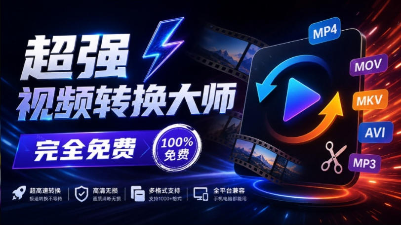
Super local toolbox! Built-in screen recording, audio/video cutting & merging, video compression & extraction, forever free - Kedou Video Converter
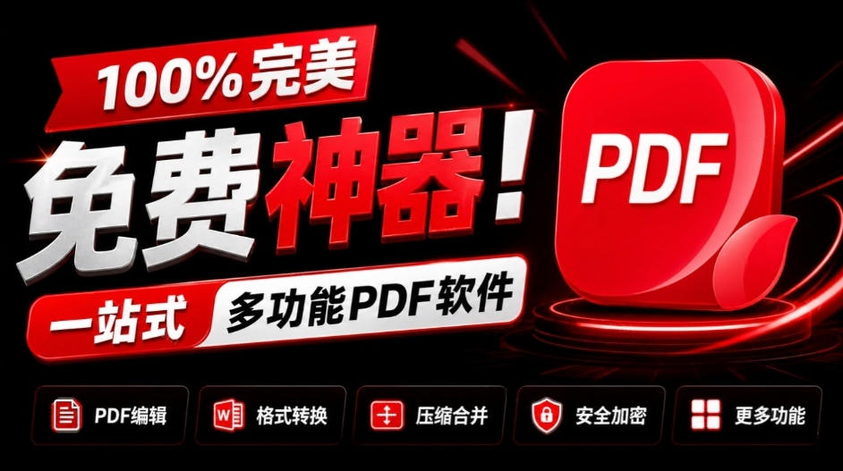
100% perfect free tool! One-stop multi-function PDF software: PDF convert, compress, edit etc., minimal, no ads, so nice - JOPDF

Open-Source Desktop Remote Tool, Beats Paid Versions! Free for Personal and Commercial Use Unlimited, Cross-Platform, HopToDesk Remote Control

Latest K-12 Textbook Downloader: Whole-Grade Resource Download, Courseware, Video, Audio in One Click

HuyanBao: free blue-light eye-care app with pet break reminders
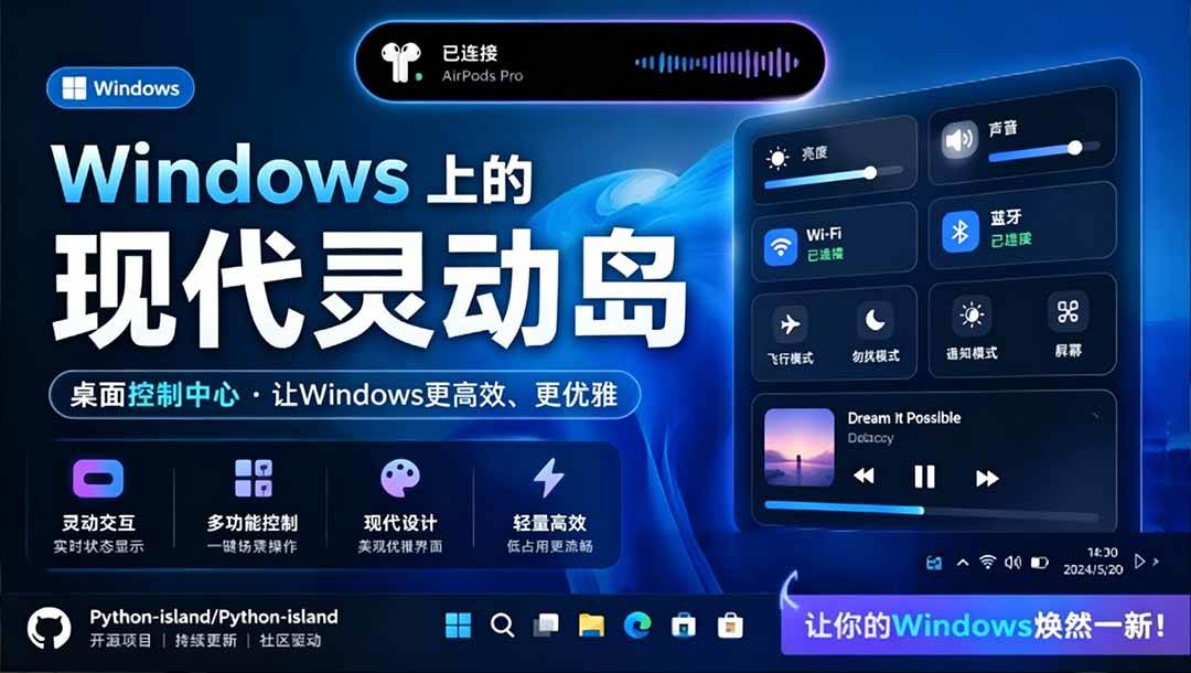
Windows Can Have a Desktop Dynamic Island Too! A Modern System Control Center — Give Your PC a Black Notch, PyIsland

3D Simulated Comic Drama Production: Seedance2.0 Full-Process Practical Course - From Zero to One High-Quality Comic Drama Creation

Win/Mac Dual Support! Latest Permanent Lifetime Version, Supports Old Photo Restoration, Image Sharpening and Lossless Upscaling Tool, Aiarty Image Enhancer

Online Video Course: Github Open-Source Bilibili Video Download Tool! Supports 8K and Dolby Vision Bilibili Video Batch Download Tool, Easy to Use Bilidown