









Sound Familiar?
You've shot a pile of photos of an old building and want an accurate 3D record. Or on an urban-planning project you need a terrain model of a whole area from aerial photos. Manual modeling takes forever, and big datasets choke your PC. Professional photogrammetry tools exist, but they're either hard to learn or priced out of reach. Your need is simple: feed in photos, auto-compute an accurate 3D model, export and go.
Think of It as an Automated Workshop That Turns Photos Into Models
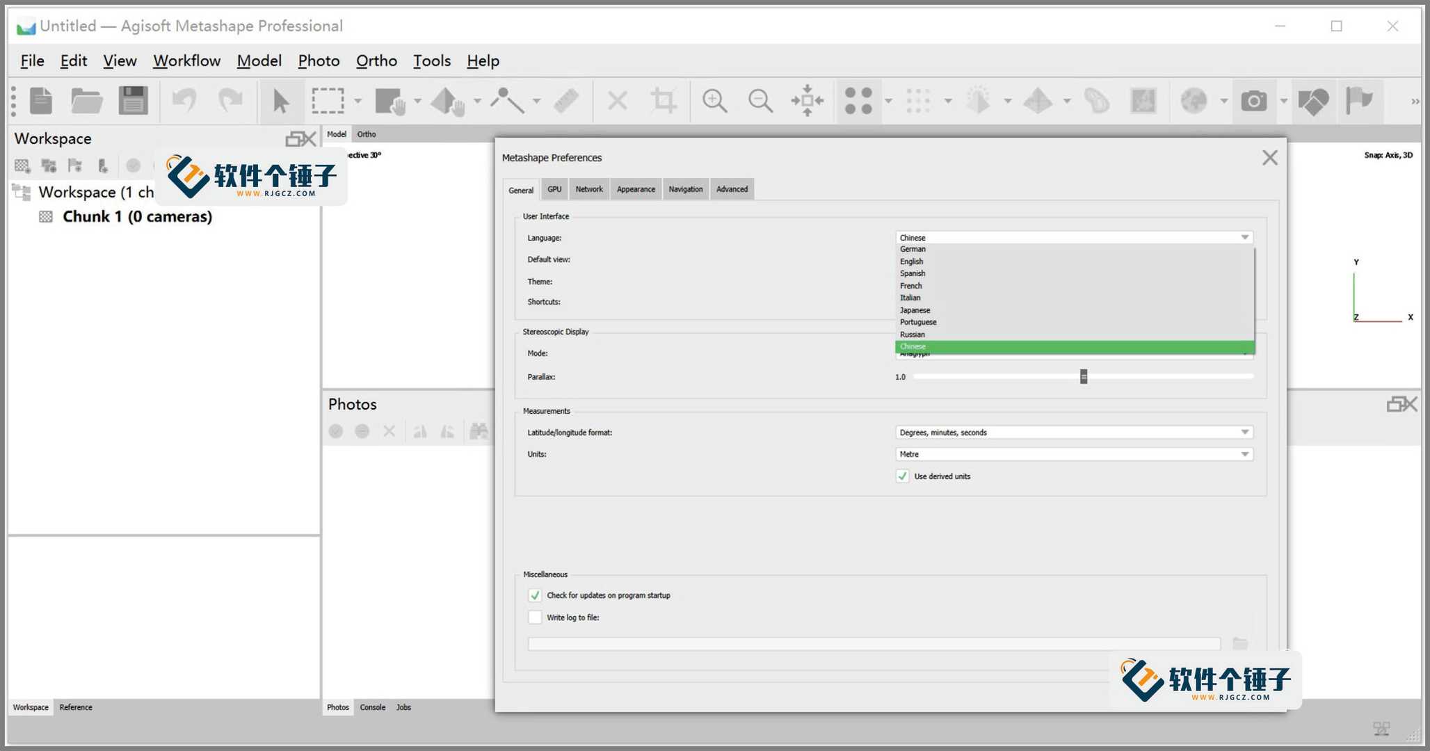
Agisoft Metashape's core job is to take a series of 2D photos and compute a 3D model from them. It reconstructs object geometry, and also produces textured models, orthophotos and terrain data. You supply photos; alignment, point clouds and meshing are essentially automatic.
What Can It Do?
① Generate 3D models from photos
No laser scanner needed—regular camera or drone shots work. It finds common points across photos, reconstructs geometry, and generates dense point clouds and textured models. Export OBJ, PLY, FBX and other common formats for further editing.
② High-res orthophotos and terrain
For surveying and GIS, it stitches aerial photos into perspective-free orthophotos and generates Digital Surface Models (DSM) and Digital Terrain Models (DTM)—ready to import into ArcGIS, AutoCAD and other tools.
③ Fast processing, batch automation
On large photo sets it uses multi-core CPU acceleration and can distribute work across LAN machines. A Python scripting interface automates repetitive workflows—ideal for many projects in a row.
Who Uses It?
Heritage professionals digitizing artifacts and old buildings; surveyors and geologists extracting terrain from aerial data; reverse-engineering and architectural-visualization folks who want fast 3D models from real-world photos. It runs on Windows, macOS and Linux, and project files travel across platforms.
Platform & Version Notes
This build ships Windows and macOS installers. It has real hardware needs—for large projects a multi-core CPU and discrete GPU give the best experience.
In Short
If you need accurate 3D models or terrain from photos, Agisoft Metashape is an industry-proven tool. Highly automated, richly formatted, scriptable—handles single projects and batch processing alike.