Categories
See All >
-
Solo Business Courses
-
 Others
-
Overseas Tutorials
-
Photography & Editing
-
Community & Private Domain
-
Self-Media Writing & Copywriting
-
Side Income Projects
-
E-commerce
-
Short Video & Live Streaming
-
Artificial Intelligence (AI)
-
Software & Tools
-
Operating Systems
-
Plugins & Scripts
-
MacOS Software
-
Android Software
-
Windows Software
3D Map Video Production Full Guide: A Top Creator Teaches Hands-On Techniques, In-Depth Breakdown of the Core Logic Behind Million-View Hits
📚Video Course
🕒Last updated: 09/25/2025
👥Entrepreneurs / Self-media creators / Cross-border e-commerce sellers / Side-hustlers
Study material — included with membership
Unlock Course with Membership
🔓
Get this course for reference study with membership
📦
Join membership — study all 16741 courses & software tools as reference
🔄
Courses keep updating — members study new material as it arrives
Share:
Top Selling Courses
-
Game Gold-Farming Money-Making Plan: Earn 1k+ Daily, a Stable 3-Year Project Anyone Can Do in Spare Time [Revealed]
Study material — included with membership Get Membership -
Hot-game fully-automated earning: 500+ a day, no experience, simple operation - the steadiest long-term game-earning side hustle (revealed)
Study material — included with membership Get Membership -
FlyingMouse earns merit this time! Don't panic at Windows format problems — the open-source FlyingMouse format conversion tool helps, a popular GitHub gem
Study material — included with membership Get Membership -
Douyin Product-Selling Coaching Bootcamp: No On-Camera Appearance Needed, Newbies Can Produce Selling Short Videos by Following the Steps
Study material — included with membership Get Membership -
First-release game gold-farming money plan: 1K+ a day, ordinary people in spare time
Study material — included with membership Get Membership






Top Selling Software Tools
-
FlyingMouse earns merit this time! Don't panic at Windows format problems — the open-source FlyingMouse format conversion tool helps, a popular GitHub gem
Study material — included with membership Get Membership -
LuDaShi v6.1024.4105.1121 Slim Single File
Study material — included with membership Get Membership -
2D Cartoon Animation Software Moho Pro v14.3
Study material — included with membership Get Membership -
Video Editor Aiseesoft Filmai v1.0.18
Study material — included with membership Get Membership -
To-Do Microsoft To Do v2.147 Free
Study material — included with membership Get Membership -
PR/AE/DaVinci/FCPX video Plugin Nobe OmniScope Win1.11.15 / Mac1.10.138
Study material — included with membership Get Membership



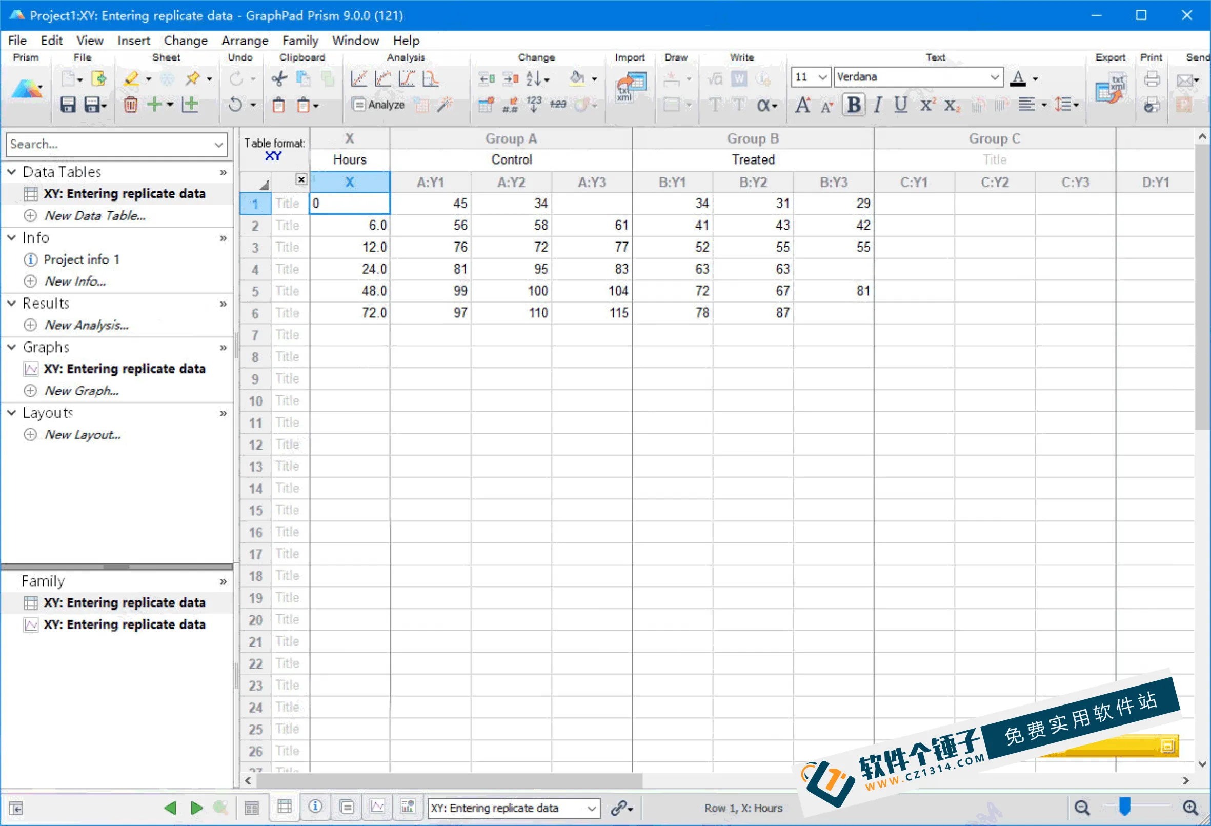
The instructor personally operates the teaching software, demonstrating every key function step by step—especially the parts you'll use often—helping you build a solid foundation.
\Case Guidance
\We'll walk through real success cases directly, teaching you how to quickly make viral 3D-map videos and avoid detours.
\\
CURRICULUM
\1. Trial lesson: course takeaways and learning goals
\First understand what this course helps you solve, clarifying your learning direction.
\2. Software and tool prep
\- \
- 2.1 Desktop software installation and setup: teaching you to download and install the mapping software and configure the basics. \
- 2.2 Getting 3D satellite basemaps: we give you the desktop basemap resources for free, ready to use. \
- 2.3 GIS basics: a simple intro to geographic information technology, helping you understand the underlying principles. \
3. Hands-on part (items 3.1–3.5 combined)
\This is the core of the course: 8 required topics and 1 optional, with step-by-step hands-on guidance.
\- \
- 3.1 Software installation and basic operations: installing the software, getting familiar with the interface, registering an account, and learning start/end search, favorites, route selection, and track conversion. \
- 3.2 Point labels and 3D landmark creation: setting point-label styles, including making 3D landmarks. \
- 3.3 Geographic annotation methods: learning how to annotate towns, rivers, reservoirs, and roads. \
- 3.4 Animation export and video packaging: setting tour-animation parameters, exporting the animation, and editing and AE-motion-tracking the vertical short video. \
- 3.5 Optional: ArcGIS basics: if interested, you can additionally learn basic ArcGIS operations. \
4. Full case walkthrough (items 4.1–4.3 combined)
\Through three real cases, experience the complete production flow.
\- \
- 4.1 Boxing-to-Jinan animation: a complete animation from start to end. \
- 4.2 Tianjin-to-Dezhou full annotation: focusing on annotation techniques. \
- 4.3 Tengzhou-to-Jinan geographic-standard styling: applying both annotation and animation production. \
5. Bonus course
\We also include a mobile map-animation tutorial to expand your skills.
\- \
- 5.0 Mobile map-animation basics: an intro-level tutorial, easy to start. \
- 5.1 Mobile label search and style setup: supplementary content to make mobile production more efficient. \
Related Courses

Study material — included with membership
Get Membership
A New Ad-Watching Platform: 1.4 Yuan Per Ad, Bonus on Withdrawal, Easily 20+ RMB a Day Per Phone—Great for the Long Term [Revealed]

Study material — included with membership
Get Membership
Precise Customer-Acquisition Master Course: Super-Individual Case Breakdown, Low-Cost Mining of High-Quality Clients

Study material — included with membership
Get Membership
Mini-game AFK Bot Project: Operate With Just One Phone — No Luck, Only Solid Execution, Easily Earn 500+ A Day! [Revealed]

Study material — included with membership
Get Membership
Soda Music + Tencent Musician AFK Play: A Lazy-Person Project, Batchable, No Manual Monitoring Needed, Beginners Can Easily Start [Revealed]

Study material — included with membership
Get Membership
Stop Blindly Grinding Projects! The Real Logic of Making Money Online: Be a Shovel-Seller, Refuse to Be a Chive, Turn the Tide and Earn 50-80K+ A Month

Study material — included with membership
Get Membership
The ceiling of 2026 internet projects: how ordinary people can earn 100K a month through paid knowledge products and leap a tier

Study material — included with membership
Get Membership
Zero-cost film-and-TV reselling project: ordinary people can do it in spare time and easily earn 10K a month (revealed)


Study material — included with membership
Get Membership
Xunlei Cloud Drive Promotion Monetization Camp: Analyze Conversion Cases, Double Your Earnings, Master Group Promotion and Traffic-Driving Re-posting

Study material — included with membership
Get Membership
Monetize Virtual Resources with a Web-Entrepreneurship Mini-Program: Hit a Million a Year, One Phone Is All You Need, Zero-Cost Side Hustle
China Projects — one person, one company. No team, no middlemen. Every model here is already proven in China. Join the membership, study it as reference, and launch it locally in your country.